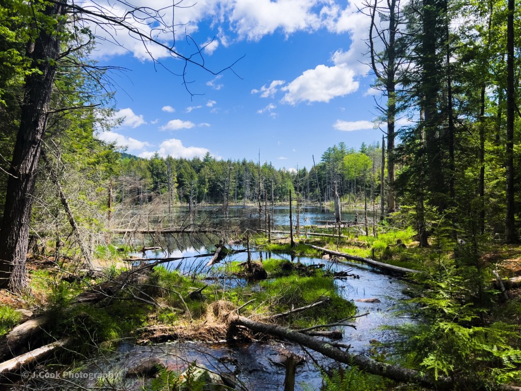
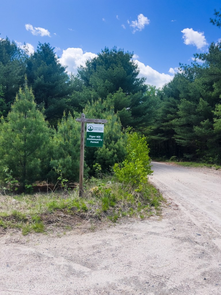
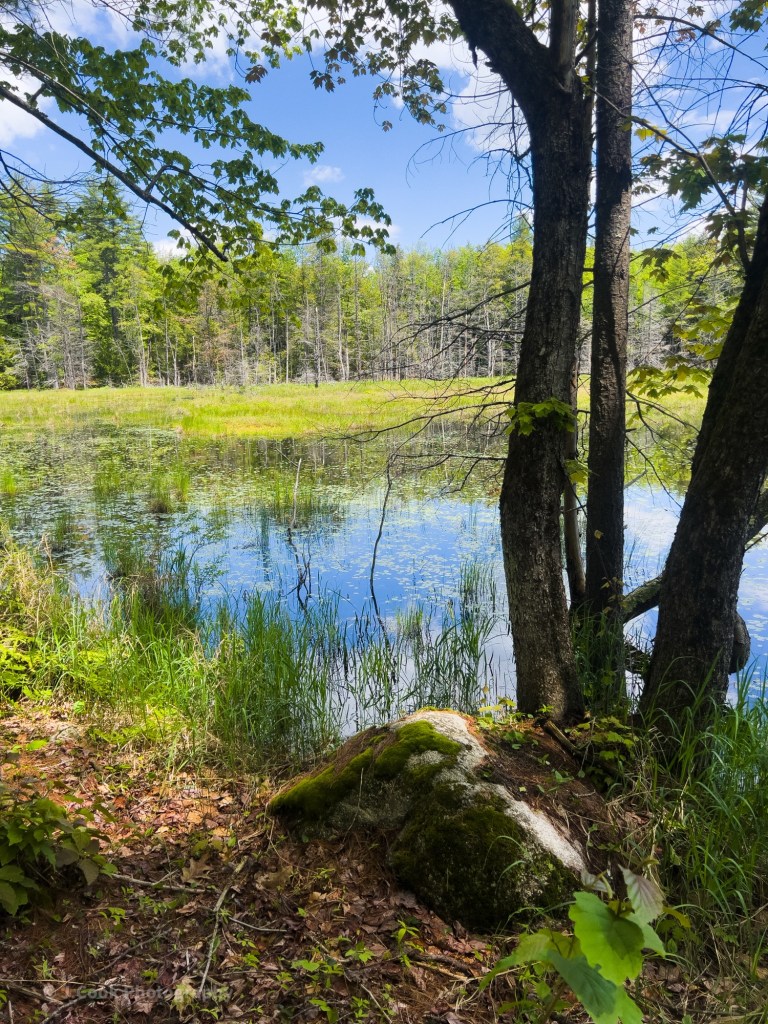
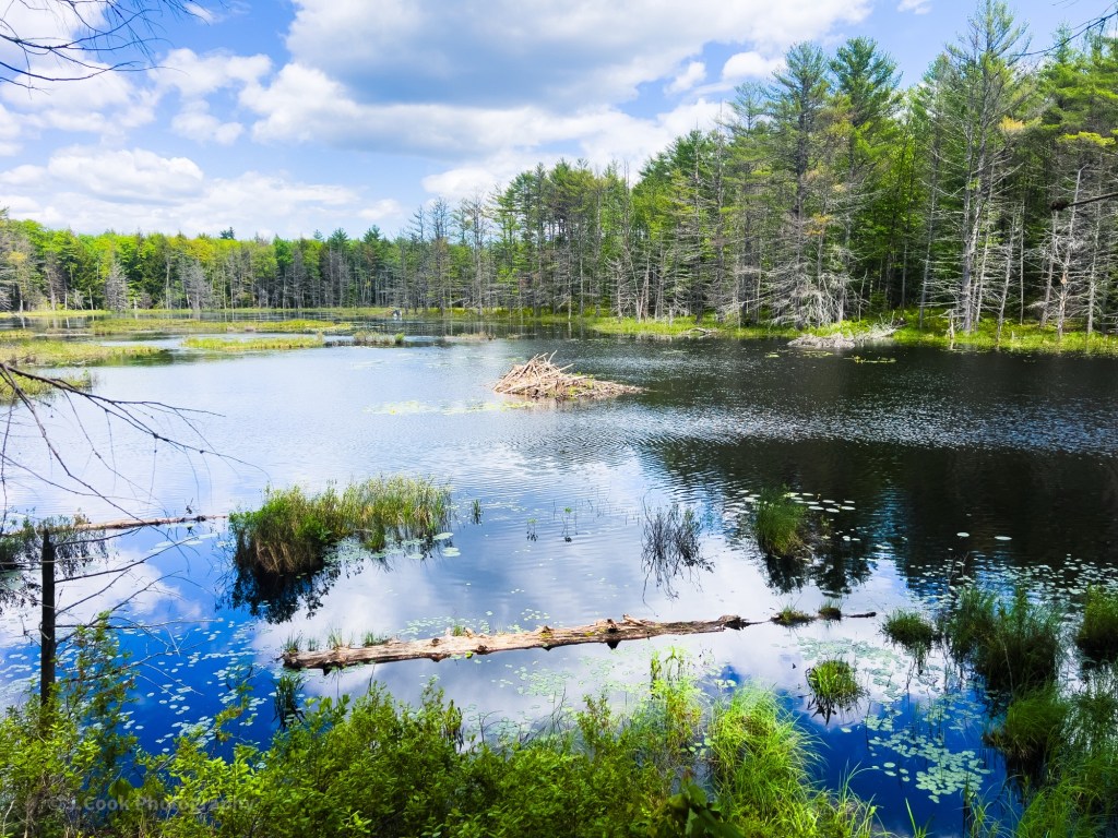
I have wanted to explore the Tiger Hill Community Forest for a while; yesterday, I finally did. The 1,400-acre Tiger Hill Community Forest is one of several properties owned and managed by Loon Echo Land Trust (LELT). At this point, there are a couple of hand-carried boat lunches along the Northwest River and a few unimproved trails and a small parking lot. Folly Rd can see a decent amount of traffic for a dirt road, though on this trip I only saw two other vehicles. There has also been timber harvesting in the area.
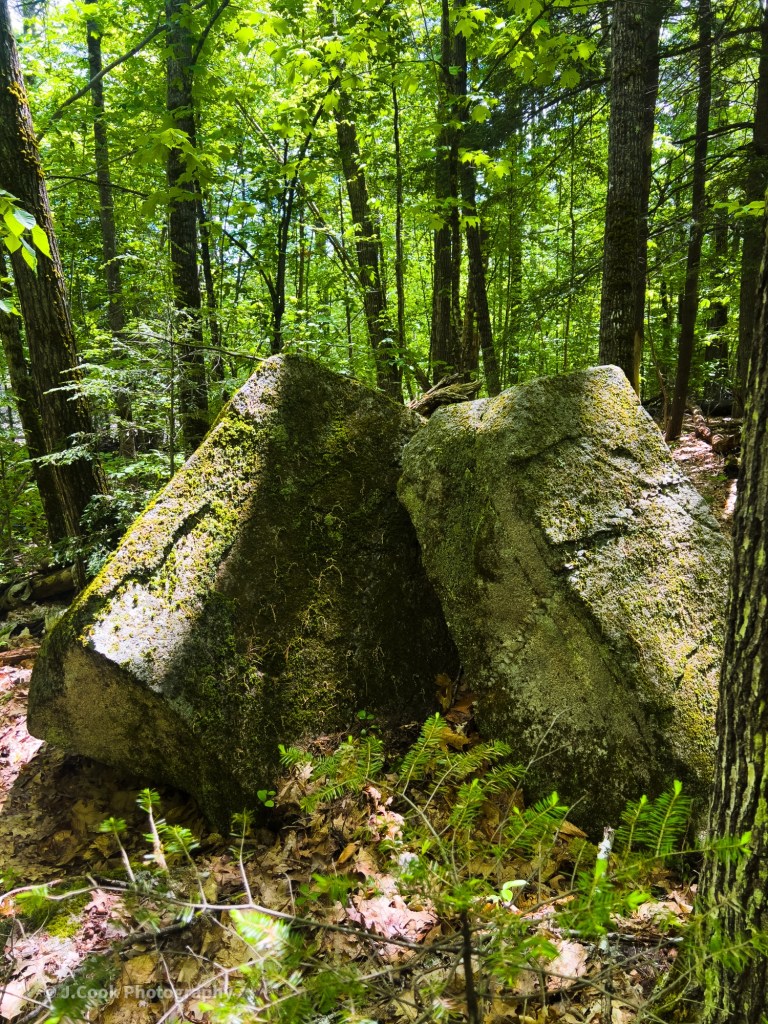
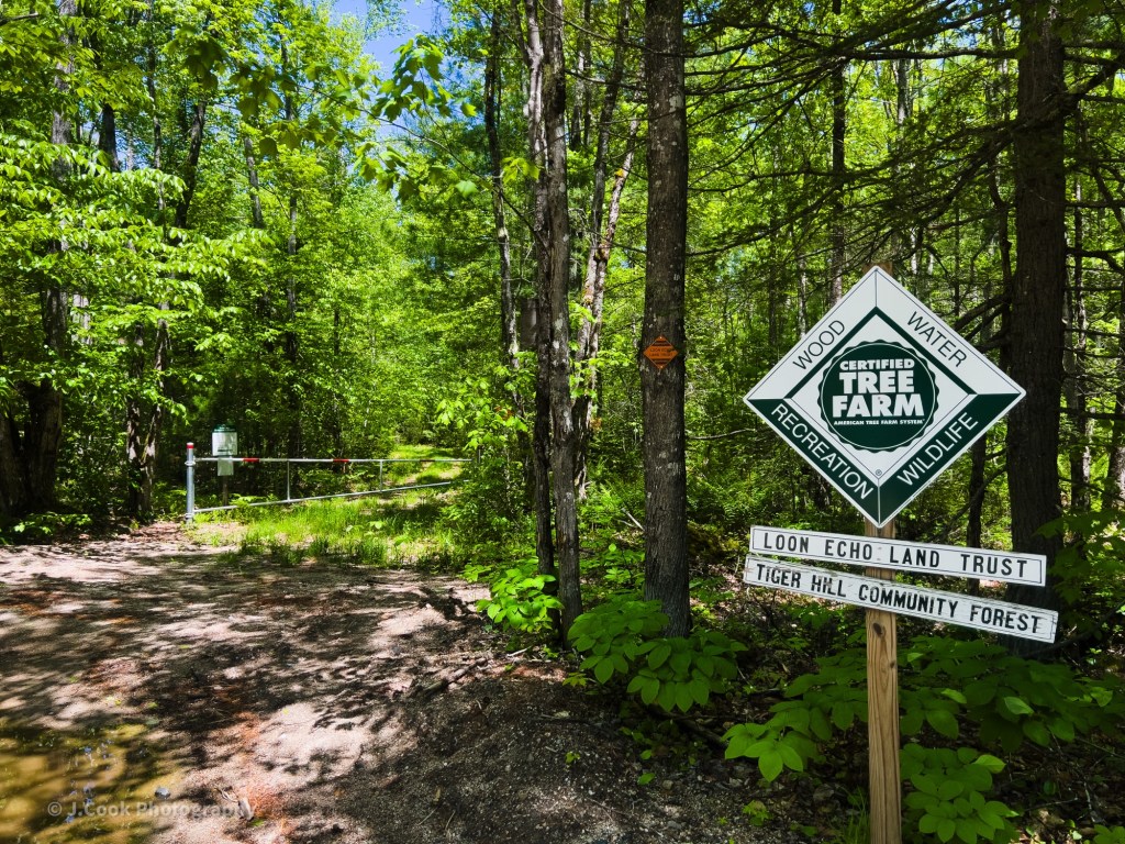
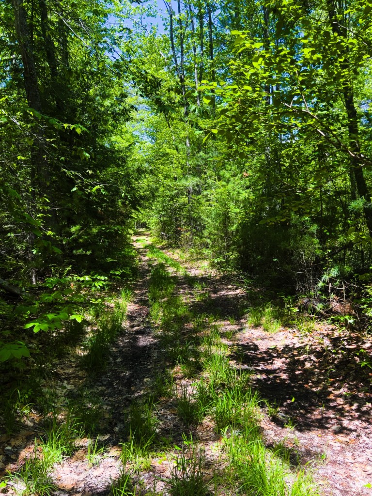
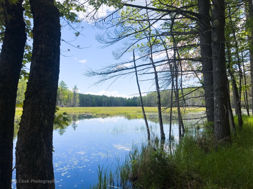
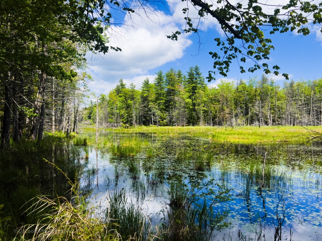
After parking at the parking lot, I walked back out to Folly Road and turned right. It is not too far to the bridge over the Northwest River, after which an old gated road heads into the woods; this is the Tiger Hill Trail. Snaking through the mixed forest, the trail is mostly an old road that can be wet in places.
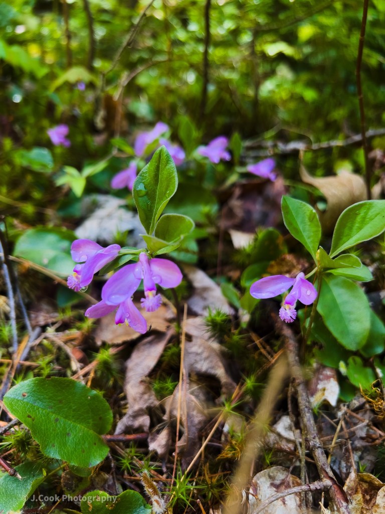
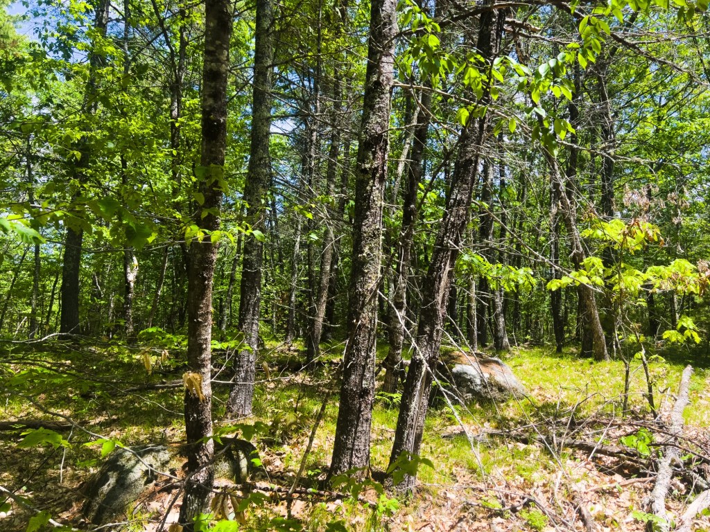
Before reaching the top of Tiger Hill, the road turns to a single-track trail. You will know you are near the top as the forest becomes less dense, allowing you to see further. I saw what appeared to be a hawk flying from its perch in the tree on a hunting mission. There is no marker or sign announcing your arrival at the top. There is no view of the surrounding area, but for me that didn’t matter as it is an enjoyable walk in the woods.
Despite being a 30-minute drive from the hustle and bustle of the North Windham shopping strip and just under an hour from Downtown Portland, I could have been a million miles away from any form of civilization. Deep in the forest, the sound of a high-flying jet was the only indication of a civilized world.

The Tiger Hill Community Forest is not a developed hiking area. The Tiger Hill Trail does not have any trail markers, no blue, white, or any other painted mark on trees or stones for you to follow. There are spots where the road splits; I think one had an arrow, but even then it wasn’t clear if it was for the trail or there for some other purpose. Along the northern side of the forest, there are well-marked snowmobile trails with directional indicators, but they won’t point you back to the parking lot. For this hike, I printed the map from LELT’s website. Pre-hike, I reviewed the area on both AllTrails and onX Hunt. AllTrails had a map and a few reviews of the Tiger Hill trail, but I found onX Hunt to be a much better resource. For the bonus points, onX Hunt worked throughout the area, even when I didn’t have much cell service.
I did some bushwhacking, and my compass was key, but onX Hunt helped too.
An area I will return to for more exploring. If you go, either stay on the old road or bring a printed map and compass, and know how to use them. For me personally, the lack of trail signs and markers made the experience more enjoyable and a bit more challenging, as I had to use skills not commonly needed when following a well-marked hiking trail.

Tiger Hill
3.5 miles
Ascent 427 feet
Descent 422 feet
Highest Point 747 feet
Tiger Hill Community Forest
Sebago, Maine