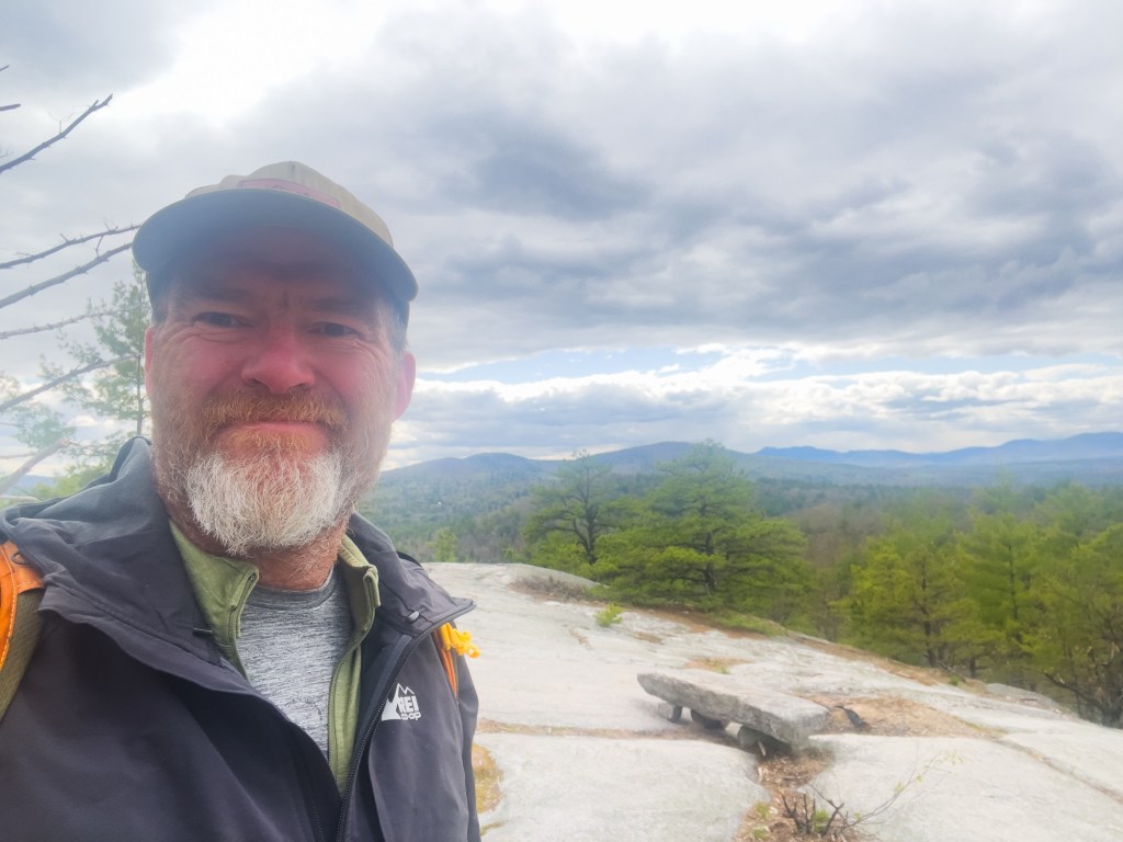
Yesterday, I put adult responsibilities on hold for a bit, a walk in the woods and the foothills of Western Maine was in order. Peary Mountain had been on my list of places to hike for a while; it’s now moved to places I’ve hiked and will probably hike again.
Getting to the trailhead involves driving along the dirt county road known as Farnsworth Rd. There is a short route from the paved state route, but I prefer the longer route as it allows me more time on a dirt road through the woods.
Though Peary Mountain can be found on hiking maps, hiking apps, and even Google Maps, there is no sign at the trailhead parking announcing the trail, aside from some snowmobile trail markers.
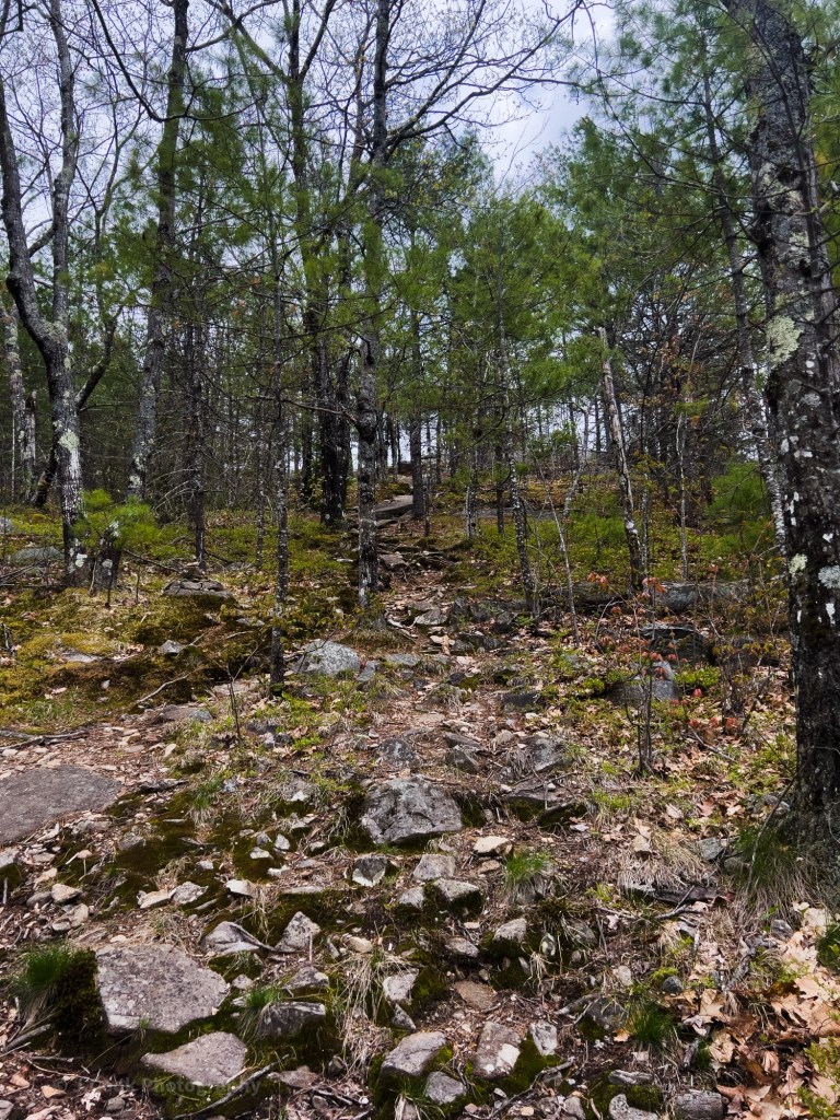
The trail heads into the woods near a small farm. A mixed forest and an area that appears to have been cut in the last few years. The trail is wide for the most part, as sections are also ATV trails.
About halfway, off to the right, there is a formation of granite stones in a low point in the ground. A foundation, a small quarry? Maybe a spot to explore another day.
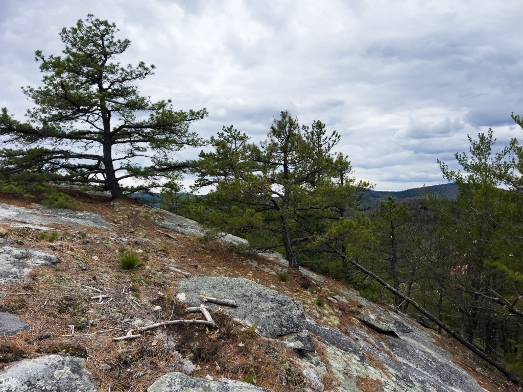
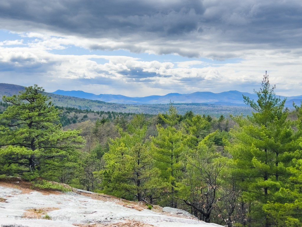
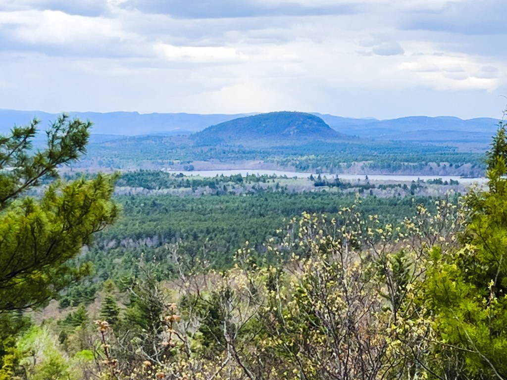
Just past the halfway point, the trail breaks off to the right from the ATV trail and climbs up. A few cairns mark this section. At the top of this trail, you come to the first open rock area, this one with views west to the White Mountains. Stone and Burnt Meadow Mountains to the south also came into view.
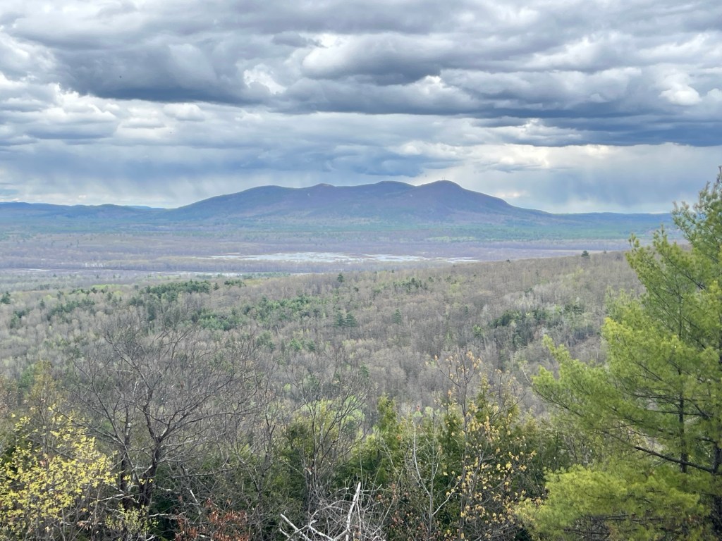
The trail continues eastward towards the summit, joining the ATV trail again. Here, there are views of Pleasant Mountain and the Brownfield Bog.
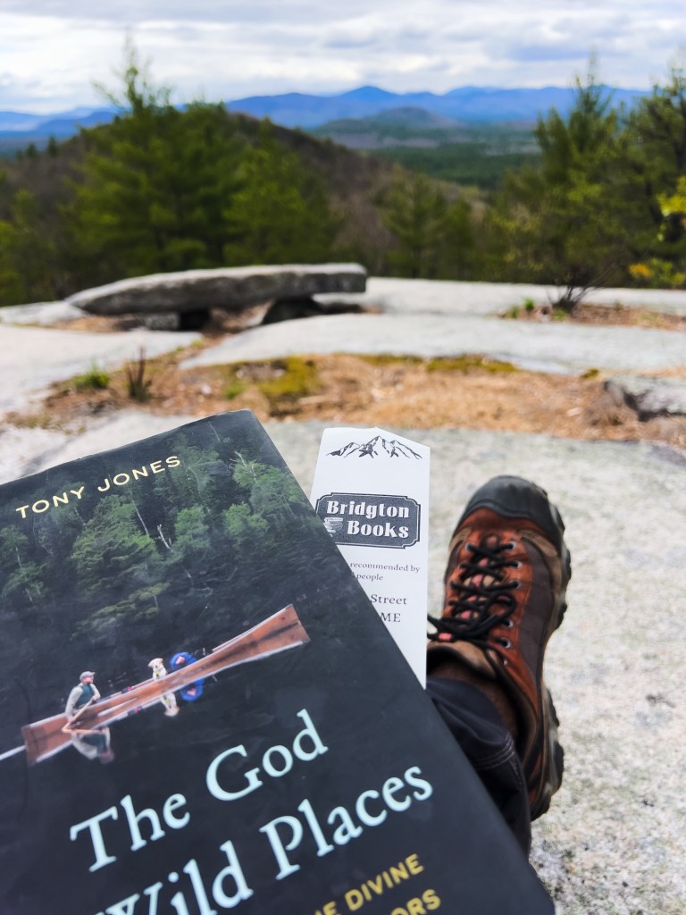
I found this trail to be relaxing and rewarding to hike. Those hikers who prefer to see the next trail marker from the one they are standing next to will not find that here. Despite the lack of trail markers, the trail is easy to navigate as long as you pay attention. The isolation of the trail limits the amount of human generated noise you hear, which is always a positive in my opinion.
Peary Mountain
3.33 miles
Highest point 974 feet
Ascent 854 feet

Perfect 🙏
LikeLike